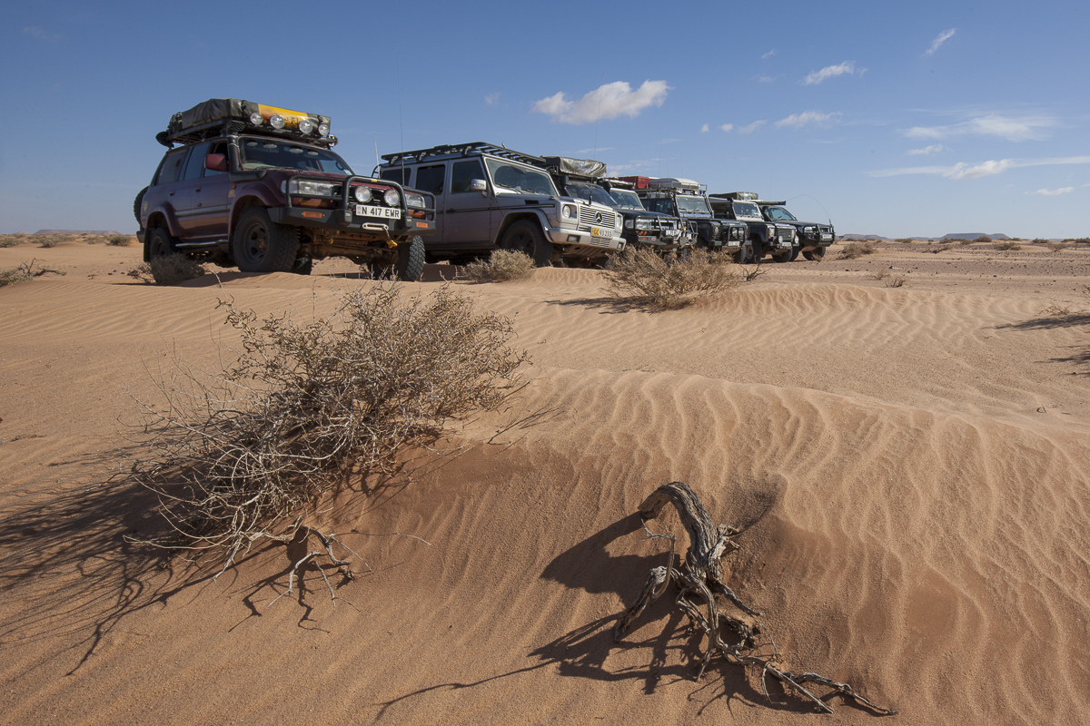
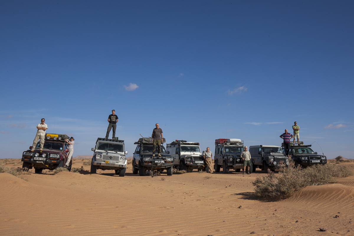
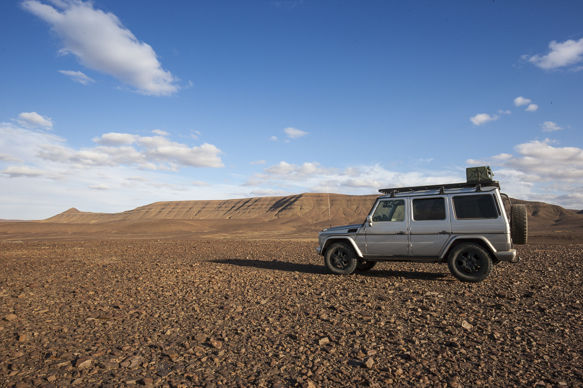
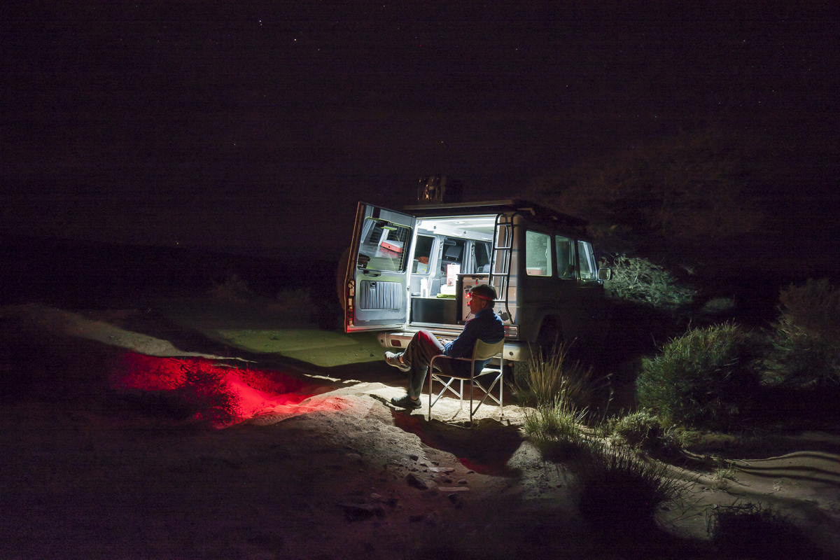
western sahara adventure 2014, day 5 #2
Three weeks in North Africa driving as far south as latitude 23
Camera: Canon EOS 1Ds MKIII
Lens: Canon EF 16-35 mm. f/4.0L IS
Remote: POCKETWIZARD Plus X Radio Transmitter
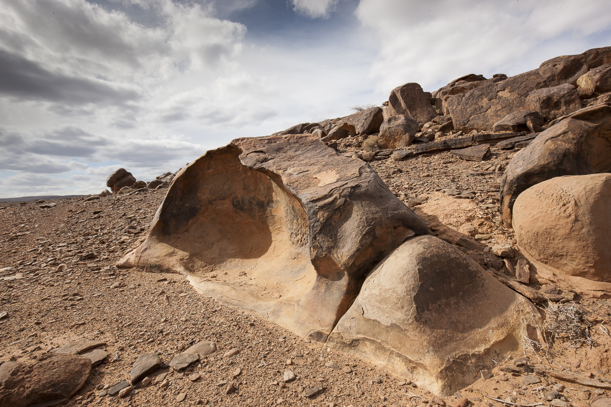
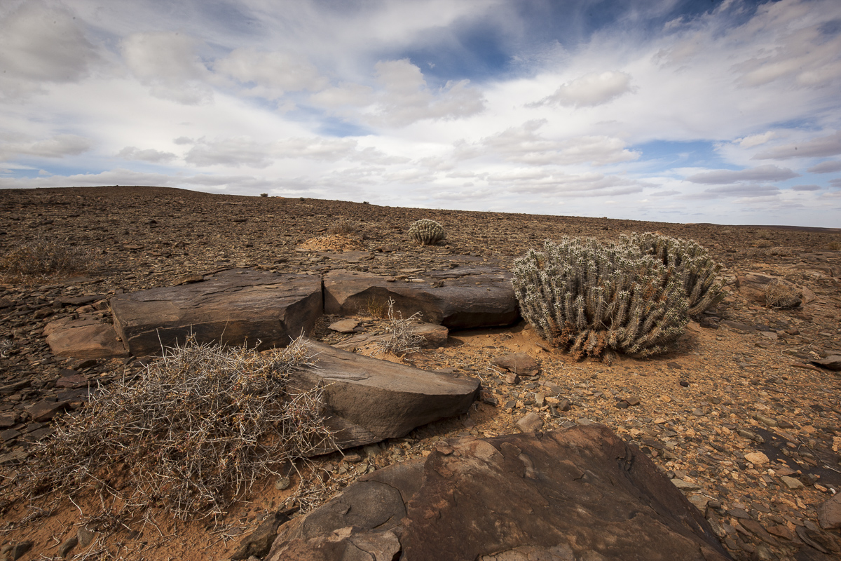
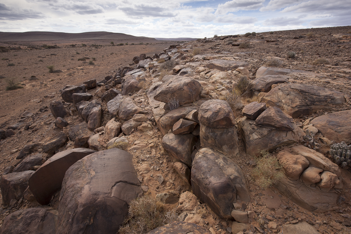
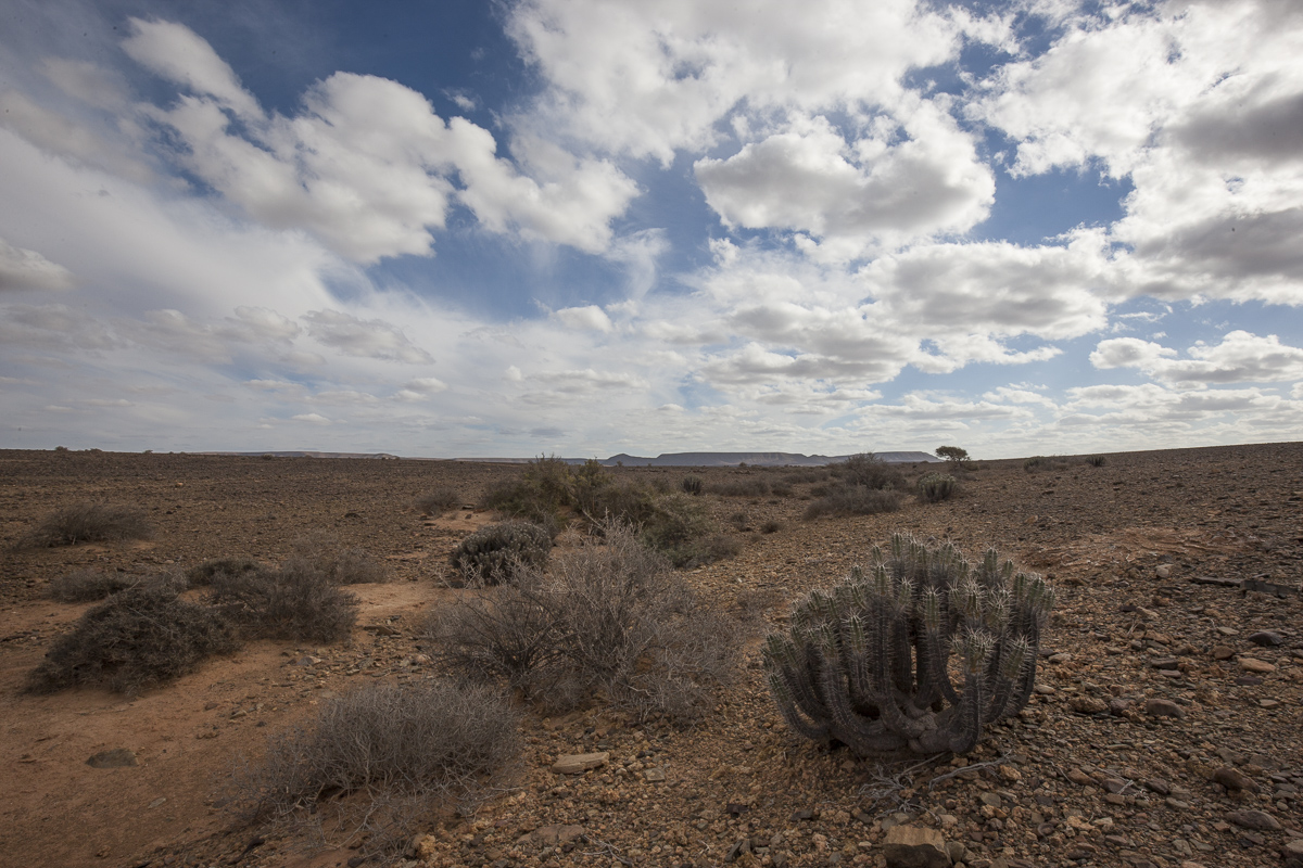
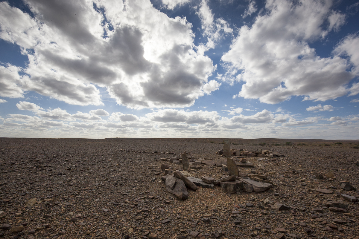
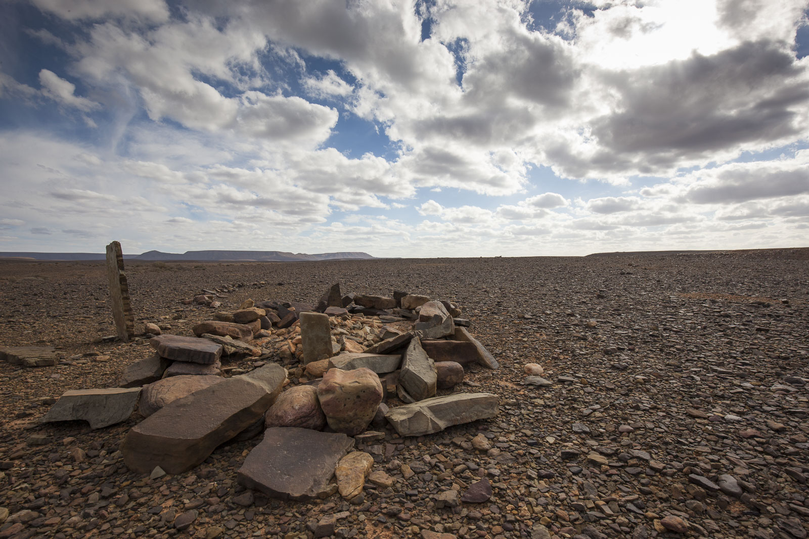
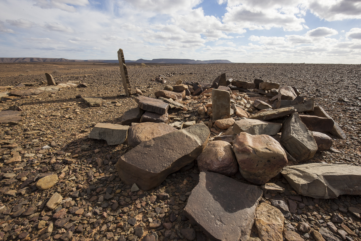
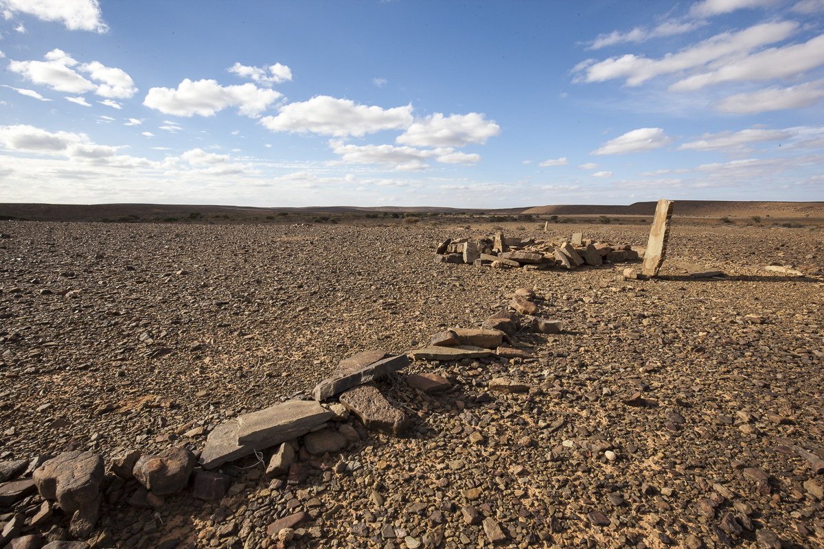
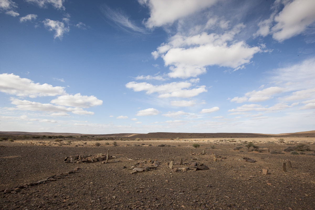
Today we passed the imaginary line, the invisible razor-wire in the middle of the desolated desert. The line was once a border-crossing between Morocco and Spanish Sahara. The history of the resistance war influences us when driving here, - but the imaginary line is also a way-point for us, crossing in to the Western Sahara is somewhat of an achievement to be celebrated, all in due respect for the consequences of the original inhabitants here.
Today the border-line separates the two territory's that makes up the kingdom of Morocco, Spanish Sahara was just a modern term for the Western Sahara. Spain ruled the territory from 1884 to as late as 1975. Spain gave it up following Moroccan demands and international pressure, mainly from United Nations resolutions regarding decolonization. There was internal pressure from the native Sahrawi population and also the claims of Morocco. Mauritania also claimed the territory for a number of years.
In 1975 Morocco occupied much of the country, but the Polisario Front, promoting sovereignty of an independent Sahrawi Arab Democratic Republic (SADR), fought a guerrilla resistance for 16 years against Morocco. In 1991 the UN negotiated a ceasefire, the UN is still present in the area. Western Sahara was and still is inhabited by Berbers, known as Sahrawi, since ancient times. The best known early form of government in the territory was under the Almoravid Berber empire between 1040 and 1147.
The United Nations considers the former Spanish Sahara a non-self-governing territory, with Spain as the formal administrative power and, since the 1970s, Morocco as the current administrative power.
There is still quite some tension in the area towards the border to Mauritania, as we would experience later our-selves.