

Iceland - one more visit, part three
I will never get enough adventures on Iceland
Camera: Canon EOS 1Ds MKIII
Lens: Canon EF 16-35 mm. f/4.0L IS, Canon EF 70-200 mm. f/2.8L II IS
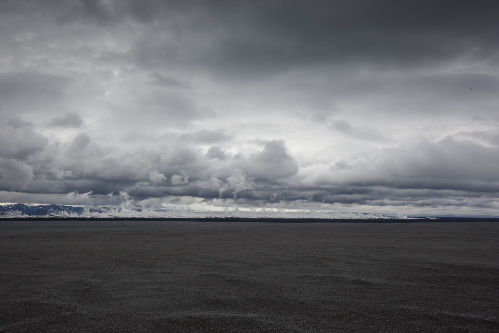
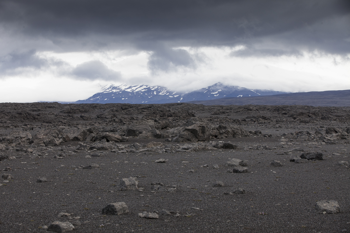
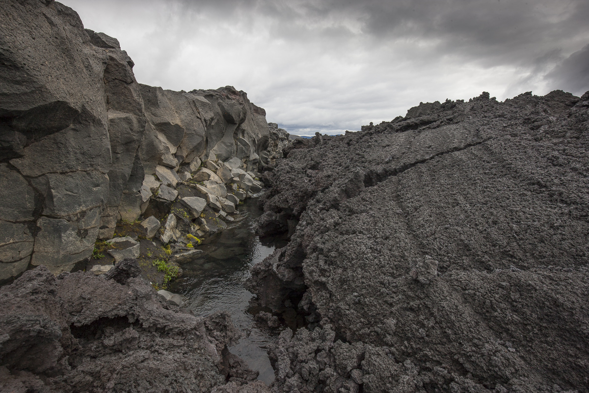
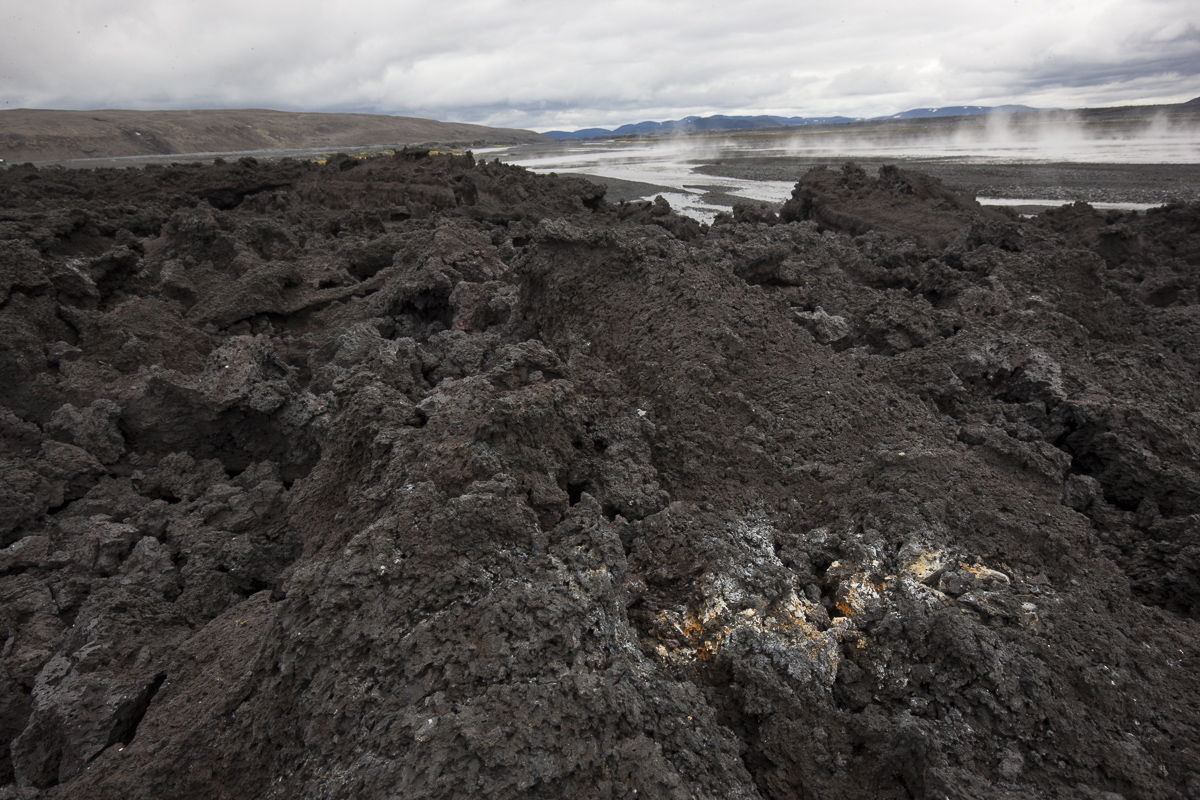
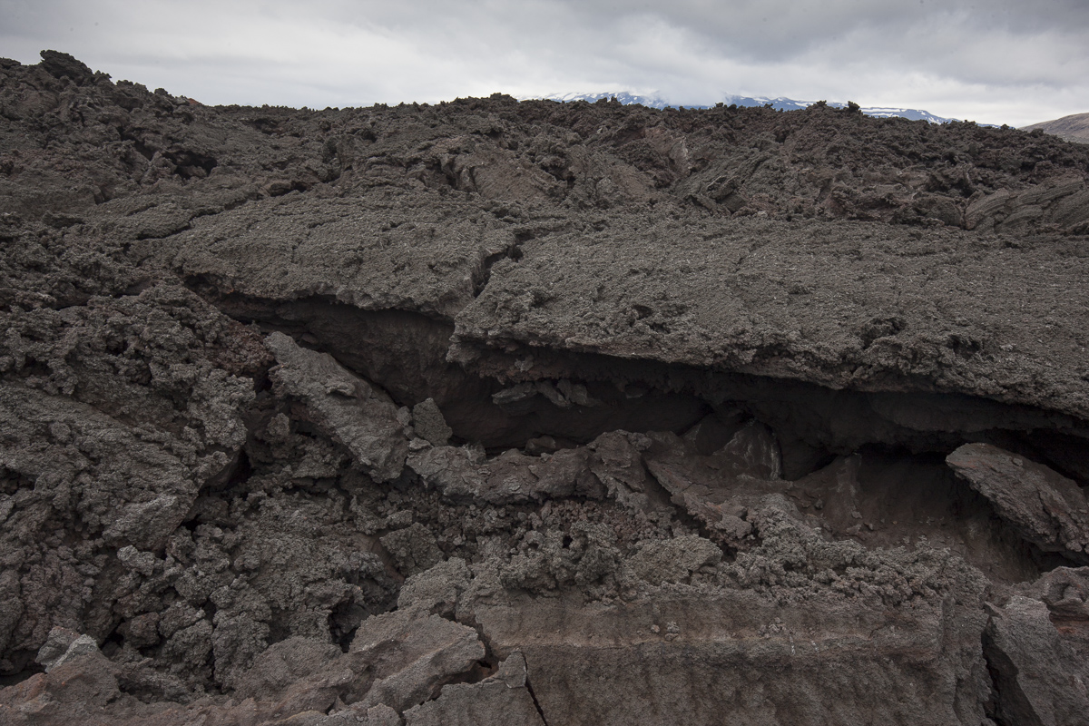
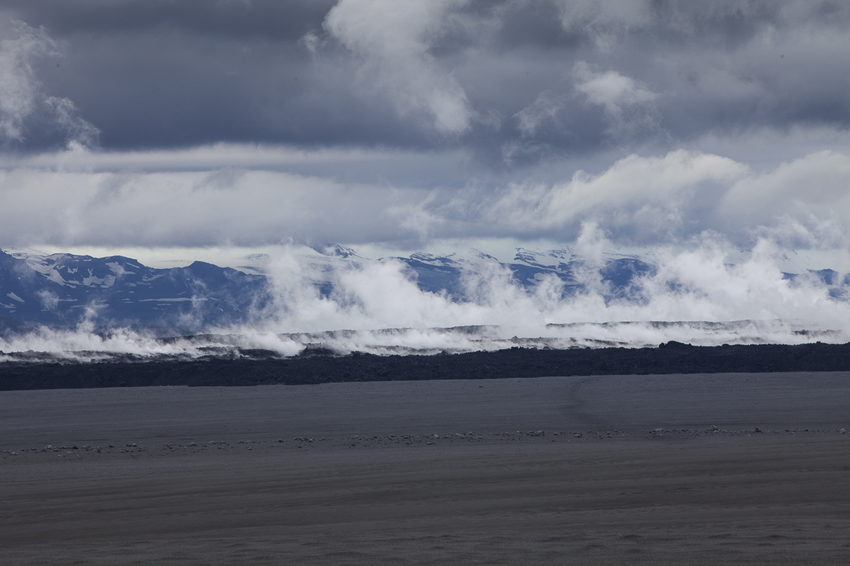
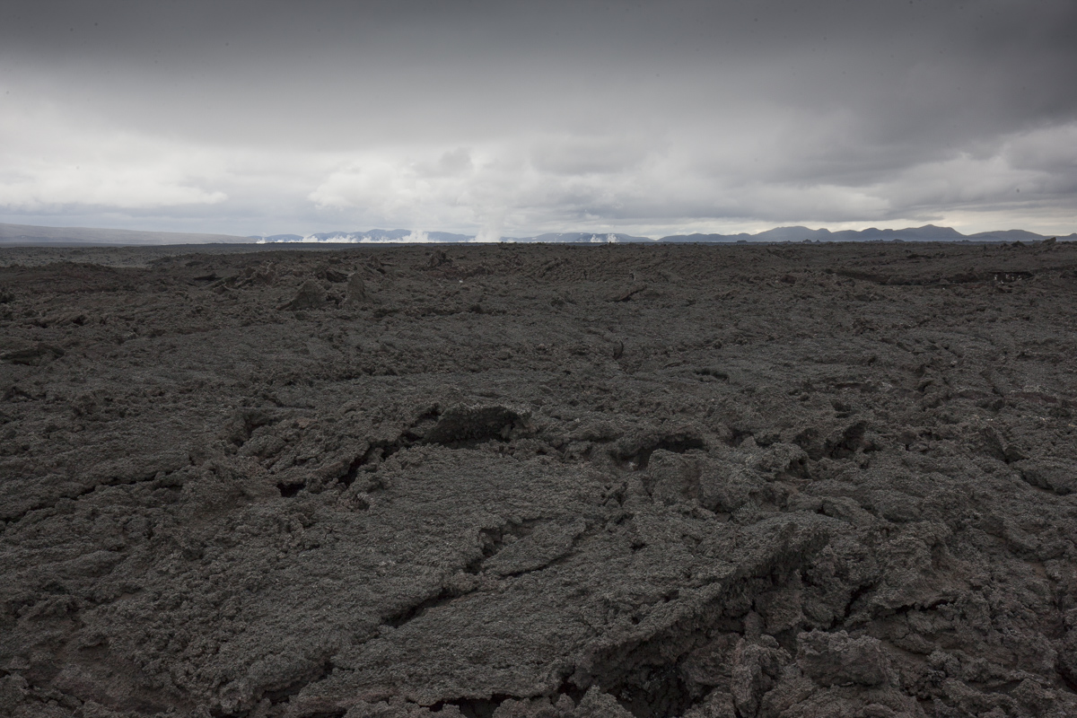
On 29 August 2014 the Bárðarbunga volcano in Iceland erupted and in the following period created a new lava field of more than 85 km2, – the largest in Iceland since 1783.
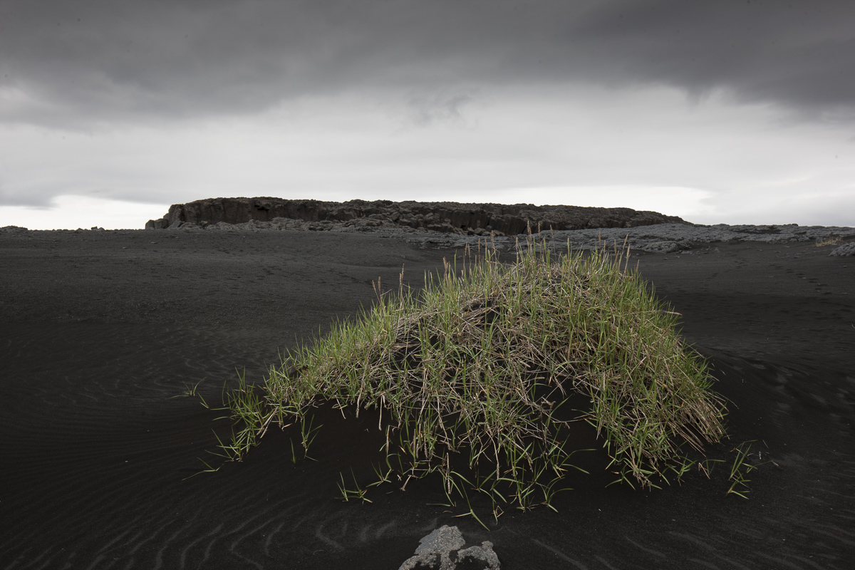
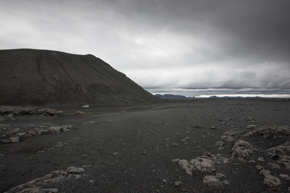
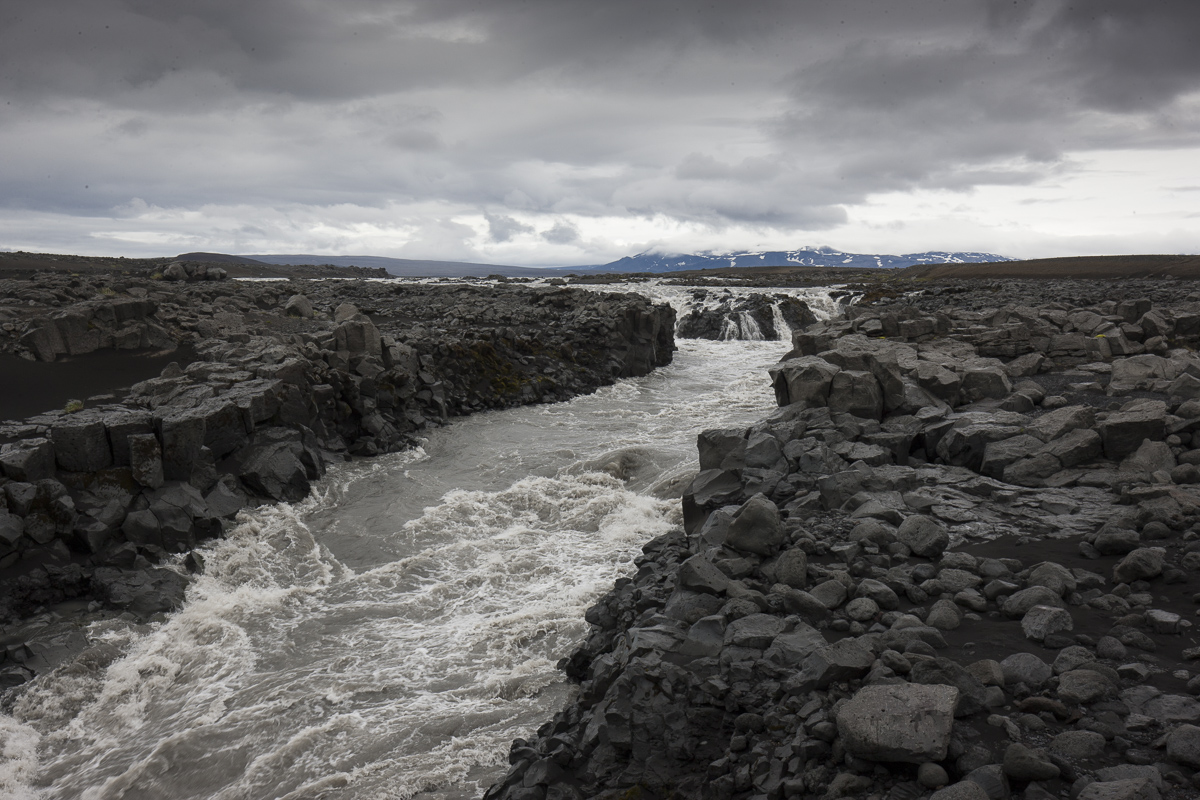
Holuhraun is situated at the southern end of Ódáðahraun, which is one of the largest lava fields in the country. The main volume of the Jökulsá á Fjöllum river flows from the eastern side of Holuhraun, in the Kverkfjöll area. Hrimalda, Urðarháls and Kistufell are to the west of Holuhraun, with Dyngjuháls and Trölladyngja beyond. The Dyngjujökull glacier, which is part of Vatnajökull, is to the immediate south. Holuhraun is about 15 km south of the Askja caldera, and the Bárðarbunga volcano is 41 km to the south-west of Holuhraun. Holuhraun is traversed by an unnumbered road, which connects to the Route F910 gravel road at both the east and the west ends.
Today I got to set foot on this new land in the central highlands.
Location: Iceland